

Federal officials continue to monitor the impact of extreme drought conditions on the Ocala National Forest, as receding water levels at ponds and lakes and the presence of dry fuels present a significant wildfire risk in the area.
On Saturday afternoon, April 4, the USDA Forest Service conducted a reconnaissance flight over the 390,000-acre forest to assess the impact of recent drought conditions on the area.
The flight revealed very low water levels in ponds, lakes, and prairies that are normally wet.
Despite the dry environment, officials confirmed there were no uncontained wildfires within the forest as of 10:15 a.m. on Easter Sunday.
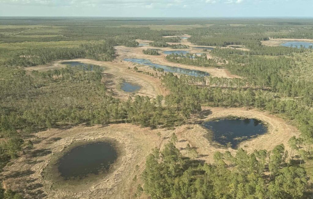
The aerial observation was performed by Fireguard 4, a Bell-212 medium helicopter based at the Smokey Helibase southwest of Astor.
The aircraft is a critical component of the forest’s elevated wildfire response, which also includes seven wildland engines, four fire UTVs, five dozers, and a Type 1 heavy helicopter.
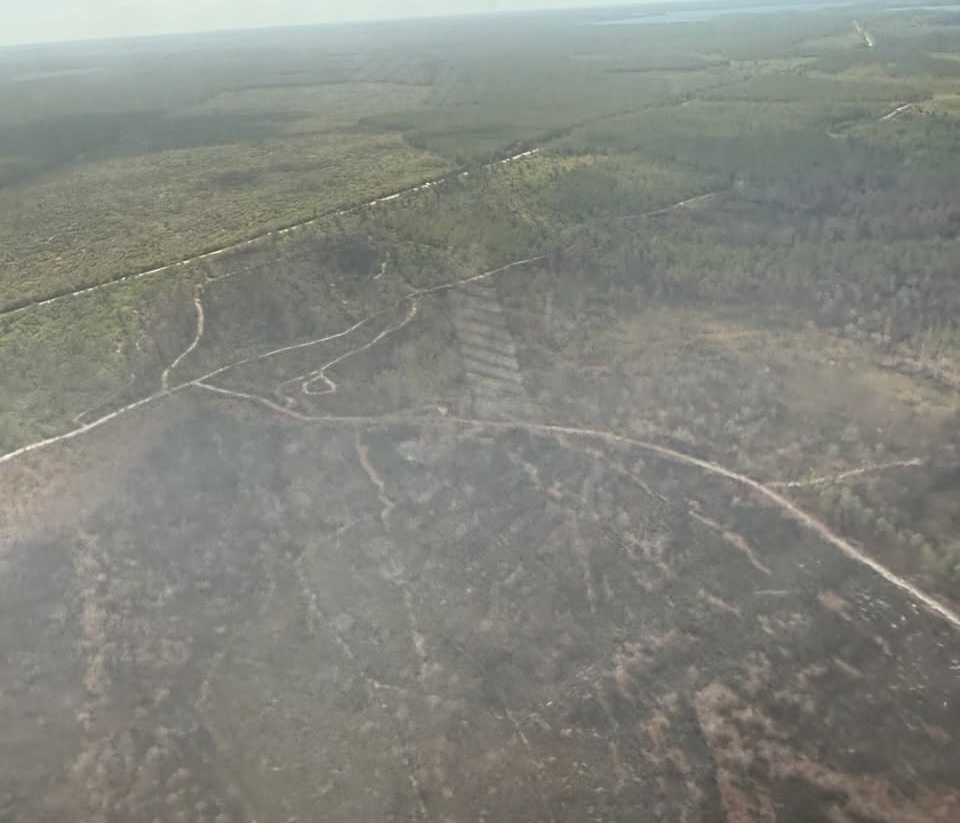
Fireguard 4 is capable of performing 320-gallon water drops to suppress new ignitions.
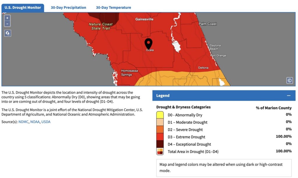
According to the U.S. Drought Monitor, 100% of Marion County is currently classified as being in a “D3 – Extreme Drought.”
The current drought follows a volatile winter where multiple hard freezes dried out available fuels.
Firefighters have remained active recently, responding to three separate wildfires over the past two weeks, including the 46-acre Gopher Fire near Lake Catherine.
To ensure rapid response, officials have extended the mutual aid response radius to 10 miles outside the forest boundary.
While there are currently no active or planned prescribed burns, the U.S. Forest Service warns that smoke from any new fires could mix with morning fog and significantly reduce visibility for motorists on State Road 40 and State Road 19.
Residents and visitors are asked to report any smoke sightings immediately by dialing 911.
Drivers are encouraged to monitor FL511.com for real-time road closures and report hazards to the Florida Highway Patrol by dialing *FHP (*347).